
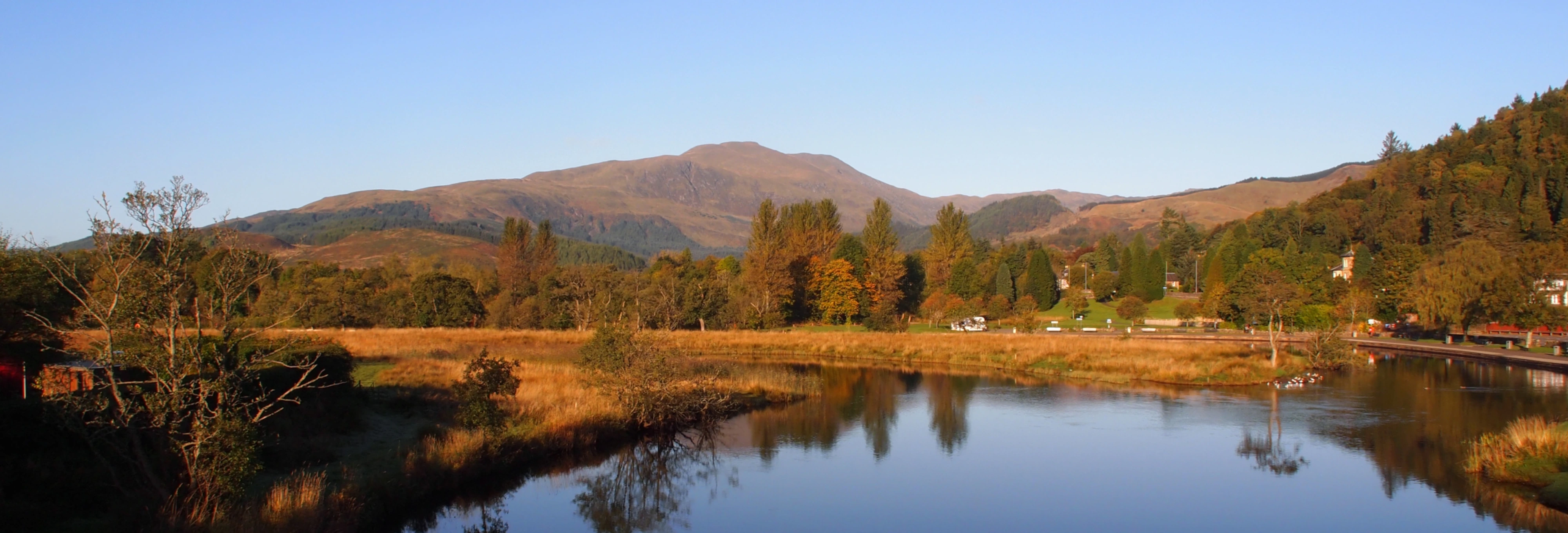
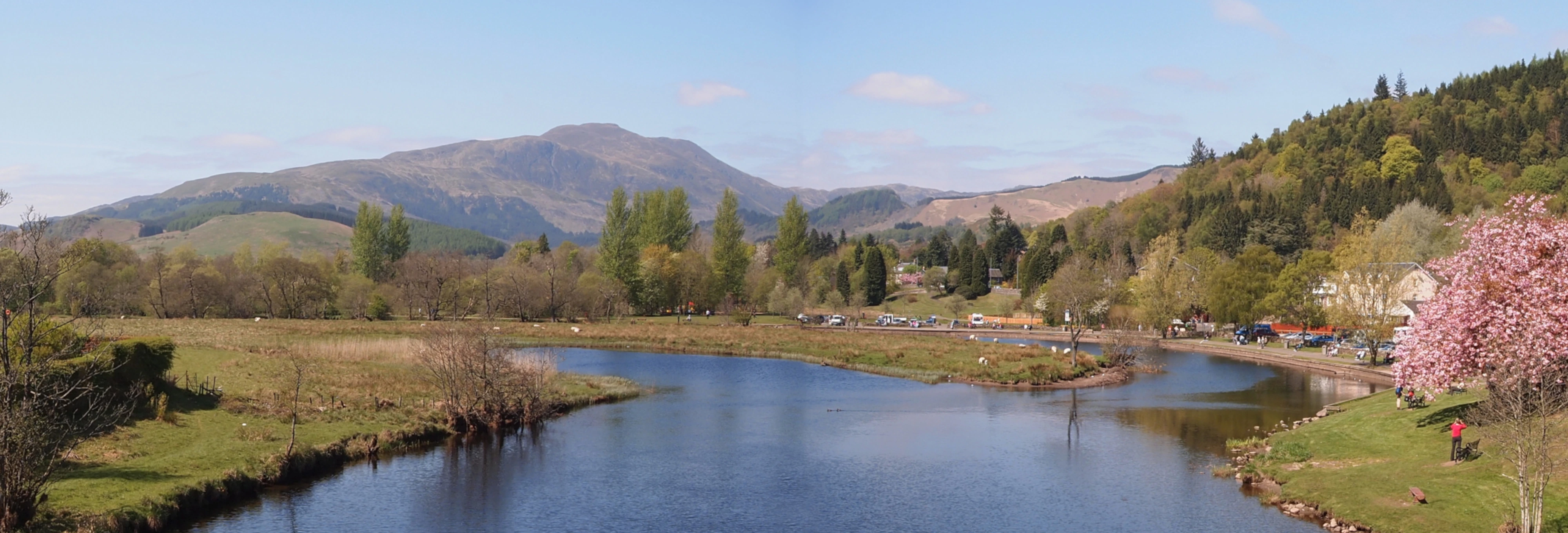
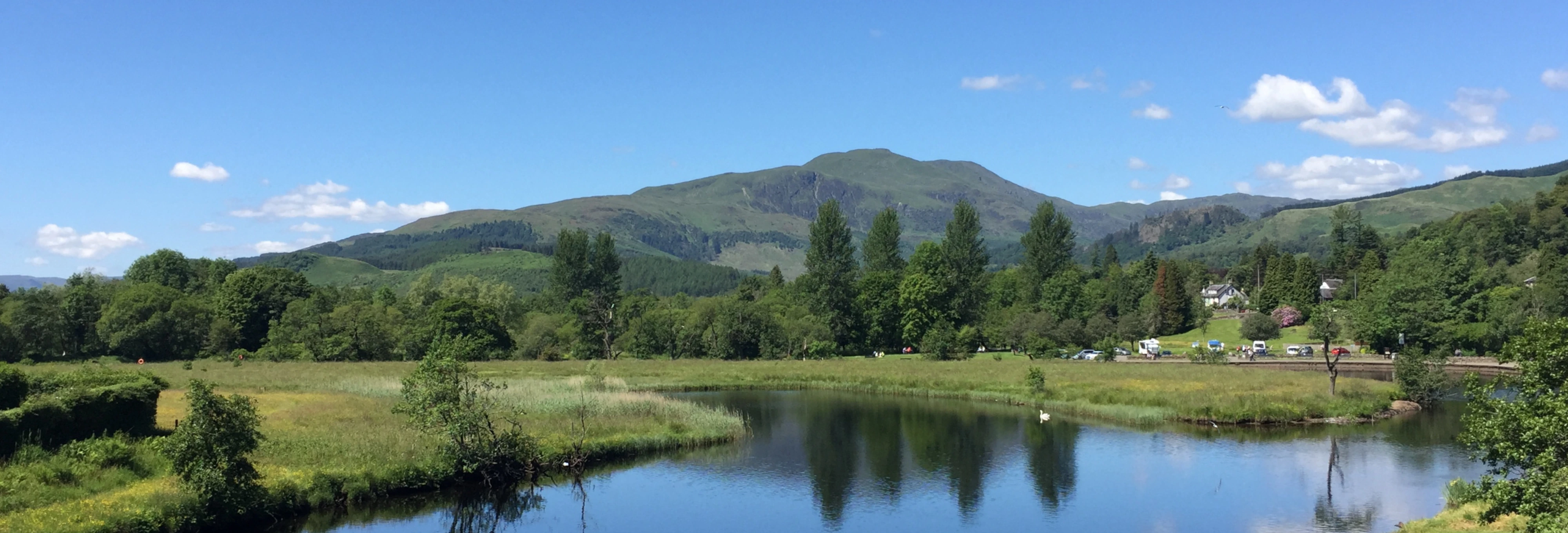
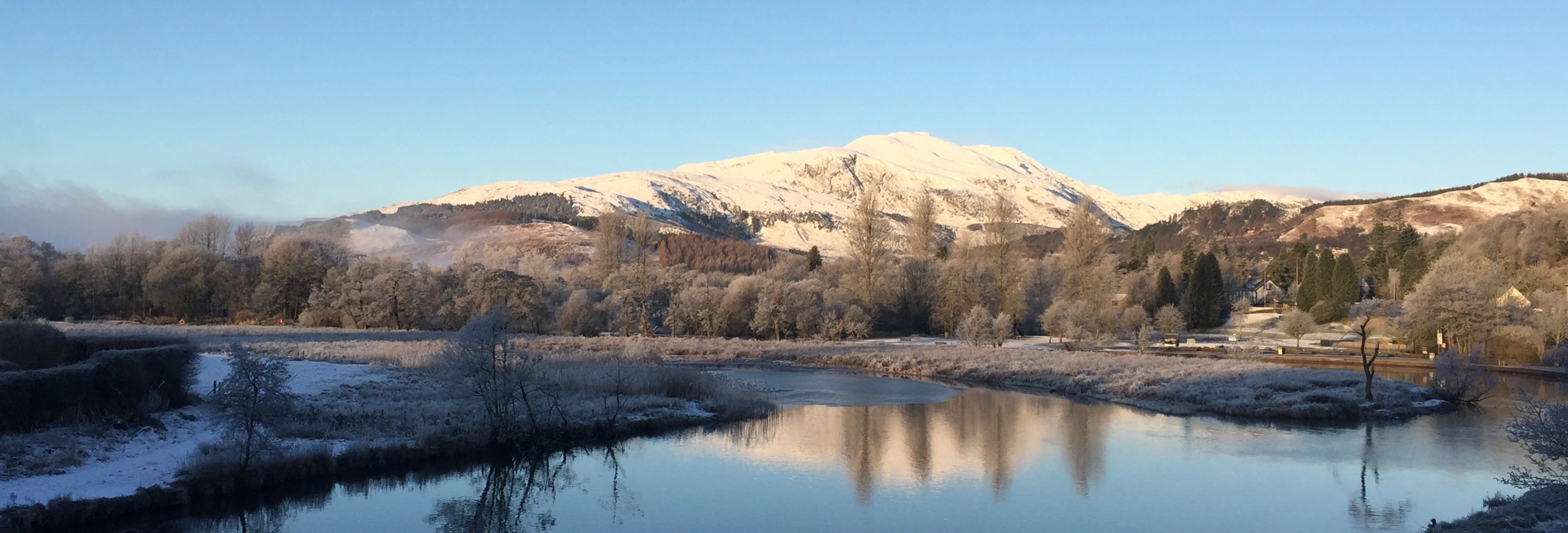
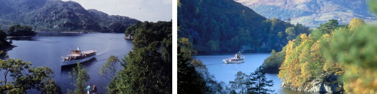
Loch Katrine
 Loch Katrine is the eleventh largest loch in Scotland.
The surface is 390 ft above sea level, this after the level was raised 6 ft by a dam to allow water to flow unassisted to a reservoir at Milngavie. The loch is owned by Scottish Water and is the main water supply for the city of Glasgow.
The length of the centreline of the Z shaped loch is just over 8 miles. The shoreline is about 22 miles in length and the surface has an area of 5½ square miles. The maximum depth is about 320ft and the average depth about 150ft.
The principal islands on the loch are :at the west end - Rubha nam Mult (originally a headland before raising of water level) , Black Island, Eilean Dharag at the east end - Eilean Molach (Ellen's Isle) Am Priosan (not quite an island) and Otter Island. There are several other very small, un-named islands.
Fly and boat fishing for trout is permitted, mainly at the west end with boats rented at the Stronachlachar pier tearoom.
Settlements / farms on the northern shore Brenchoile lodge, Letter farm (G: Leitir ), Edra farm (G: Eatarra "between them"), Strone farm (G: An t-Sròn "the nose"), Coilachra farm , Portnellan (G: Port an Eilein "port of the island") and Glengyle farm (G: Gleann Goill "glen of a lowlander").
Settlements / farms on the south shore: The Dhu farm(G: An Dubh "the black"), Stronachlachar, Culligart farm and Glasahoile farm.
It is not possible to drive all the way round the loch as the road/track from Stronachlachar stops at Glasahoile. Walking the south side is not recommended as the way from Glasahoile farm to Bealach nam Bo is obstructed by a rocky outcrop which goes right to the lochside, forcing a climb to greater altitude than planned to avoid this obstacle. Several parties have needed rescue after being caught by nightfall due to the extra time needed for the divertion.