
Cruachan Ridge
Distance 9.5 miles
Height 3700 ft/ total ascent about 4750
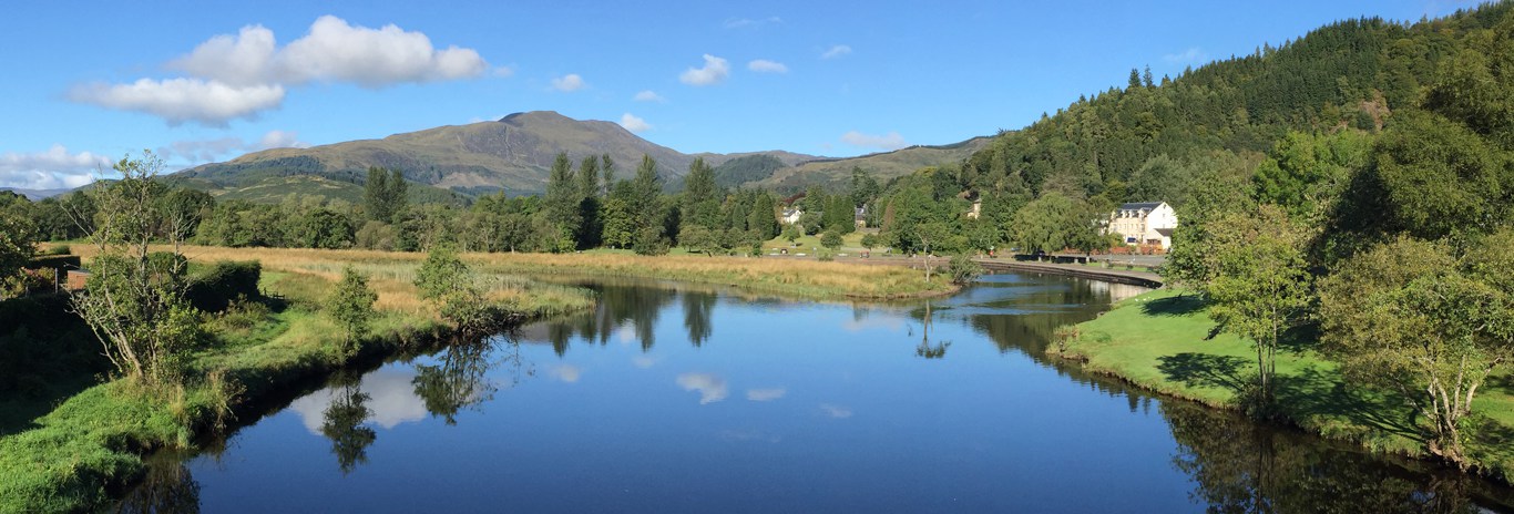
Start / Parking Cruachan Power Station GR NN080268. Don't park in the power station car park - look for a space at the roadside (north side of road).
Approximate time 7 - 9 hours
This is a serious mountain walk - once on the circular at height there is no easy escape route - you are comitted to continue or return. To the east of the final peak is a slab requiring careful treatment, especially if greasy. Only those with winter climbing experience should try this in winter.
The Cruachan is not a single peak, but a sequence of 4/5 peaks forming an arc around the north of the reservoir. The lower part of the walk is on grass/heather/peat which becomes increasingly sparse with increasing height. Once on the ridge the going is mostly rock and on the last two peaks the surface is essentially one big boulder field requiring care.
At the summits, the views down Loch Awe and to the west coast over Oban and to the Isle of Mull are beyond belief.
DIRECTIONS
Choose a place to leave your car on the main road verges east of the power station. Walk back to the power station and up the rough road which leads to the railway crossing - this is a working line so take care!
Crossing the line and following the path will get you started on a thigh burning hike up a narrow zig-zag path and over a ladder stile onto the track up the burn side. Cross the burn at the falls (don't use the old girder bridge) and head half right to attain the hill road leading to the dam.
At the dam, stay on the east side and follow the badly eroded path over the peat leading eventually to another thigh burning ascent by a burn. Don't be tempted by the little path leading left toward the top - it looks easier but becomes difficult at a boulder field. Instead, keep to the right to attain the ridge at the lowest point in the skyline.
The way is now clear to follow the ridge westward to visit the next three peaks in turn.
The path to the main peak is now blocked by a 'constable' requiring a bit of a scramble up and serious care on crossing the smooth slab - see photo (taken from summit) for best route over. Essentially you must keep to the left then work your way over using a long crack as handhold.
You can now proceed to the main peak - keep left to find a reasonable path up through the boulders and finally double back to reach the summit.
You now have an option to take the descent by the south shoulder path or to tackle the fifth and most westerly peak which is formed by a mass of tumbled boulders. If you take on the fifth peak you will then need to retrace your steps back to the highest peak where the regular track leads down the shoulder to the south. If you go to this fifth peak, don't be tempted to try the traverse over the slabs to the south shoulder path - it's not worth it!
This south shoulder track leads down to a very badly eroded gully leading to a small lochan where the path turns left to follow the burn down to the vehicle track at the lochside. Head south on this lochside track until you reach the dam. Cross partway over the dam to reach a short iron ladder on the south side. Climb down the ladder and follow the rough road down to a bridge at which point turn right off the road to follow down the burn down to the lower track back to the main road - once again remembering that the railway line still operates.
A reminder - this route is very difficult, even dangerous in winter conditions. The slabby sections will require ice equipment in winter.
Height 3700 ft/ total ascent about 4750
Start / Parking Cruachan Power Station GR NN080268. Don't park in the power station car park - look for a space at the roadside (north side of road).
Approximate time 7 - 9 hours
This is a serious mountain walk - once on the circular at height there is no easy escape route - you are comitted to continue or return. To the east of the final peak is a slab requiring careful treatment, especially if greasy. Only those with winter climbing experience should try this in winter.
The Cruachan is not a single peak, but a sequence of 4/5 peaks forming an arc around the north of the reservoir. The lower part of the walk is on grass/heather/peat which becomes increasingly sparse with increasing height. Once on the ridge the going is mostly rock and on the last two peaks the surface is essentially one big boulder field requiring care.
At the summits, the views down Loch Awe and to the west coast over Oban and to the Isle of Mull are beyond belief.
DIRECTIONS
Choose a place to leave your car on the main road verges east of the power station. Walk back to the power station and up the rough road which leads to the railway crossing - this is a working line so take care!
Crossing the line and following the path will get you started on a thigh burning hike up a narrow zig-zag path and over a ladder stile onto the track up the burn side. Cross the burn at the falls (don't use the old girder bridge) and head half right to attain the hill road leading to the dam.
At the dam, stay on the east side and follow the badly eroded path over the peat leading eventually to another thigh burning ascent by a burn. Don't be tempted by the little path leading left toward the top - it looks easier but becomes difficult at a boulder field. Instead, keep to the right to attain the ridge at the lowest point in the skyline.
The way is now clear to follow the ridge westward to visit the next three peaks in turn.
The path to the main peak is now blocked by a 'constable' requiring a bit of a scramble up and serious care on crossing the smooth slab - see photo (taken from summit) for best route over. Essentially you must keep to the left then work your way over using a long crack as handhold.
You can now proceed to the main peak - keep left to find a reasonable path up through the boulders and finally double back to reach the summit.
You now have an option to take the descent by the south shoulder path or to tackle the fifth and most westerly peak which is formed by a mass of tumbled boulders. If you take on the fifth peak you will then need to retrace your steps back to the highest peak where the regular track leads down the shoulder to the south. If you go to this fifth peak, don't be tempted to try the traverse over the slabs to the south shoulder path - it's not worth it!
This south shoulder track leads down to a very badly eroded gully leading to a small lochan where the path turns left to follow the burn down to the vehicle track at the lochside. Head south on this lochside track until you reach the dam. Cross partway over the dam to reach a short iron ladder on the south side. Climb down the ladder and follow the rough road down to a bridge at which point turn right off the road to follow down the burn down to the lower track back to the main road - once again remembering that the railway line still operates.
A reminder - this route is very difficult, even dangerous in winter conditions. The slabby sections will require ice equipment in winter.