
Ben Lui Walks
Length: 7 or 12 milesStart: A85 Oban Road (GR NN239279) or Dalrigh
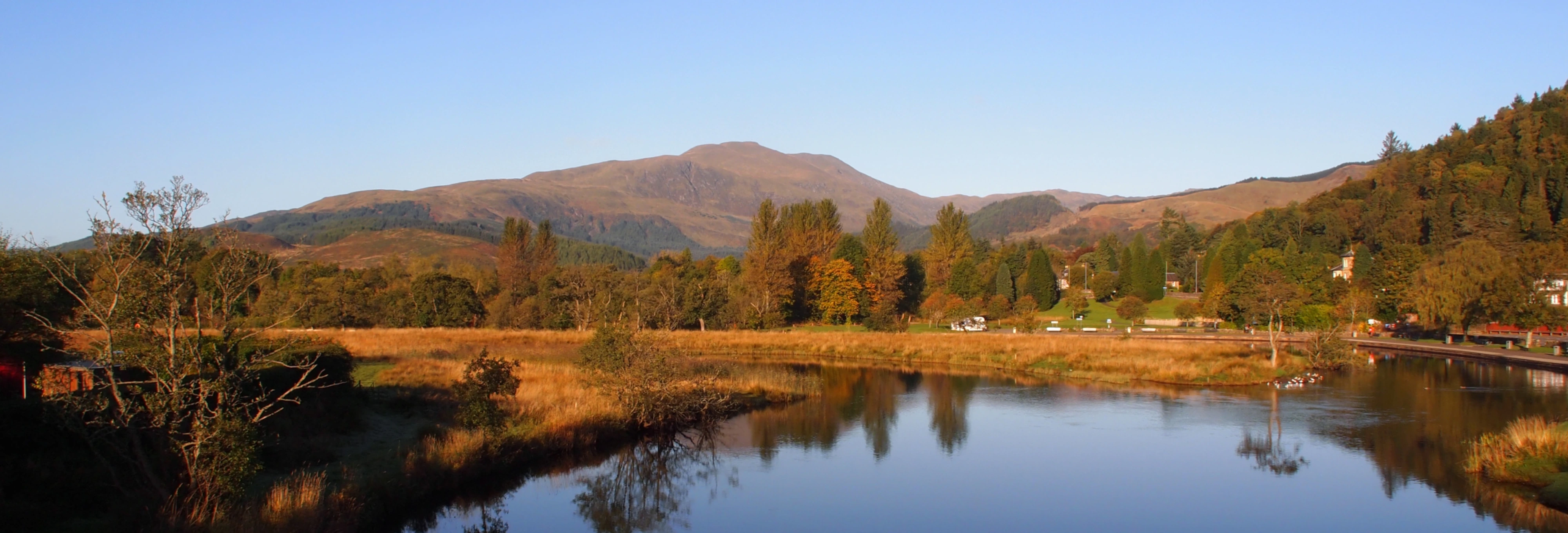
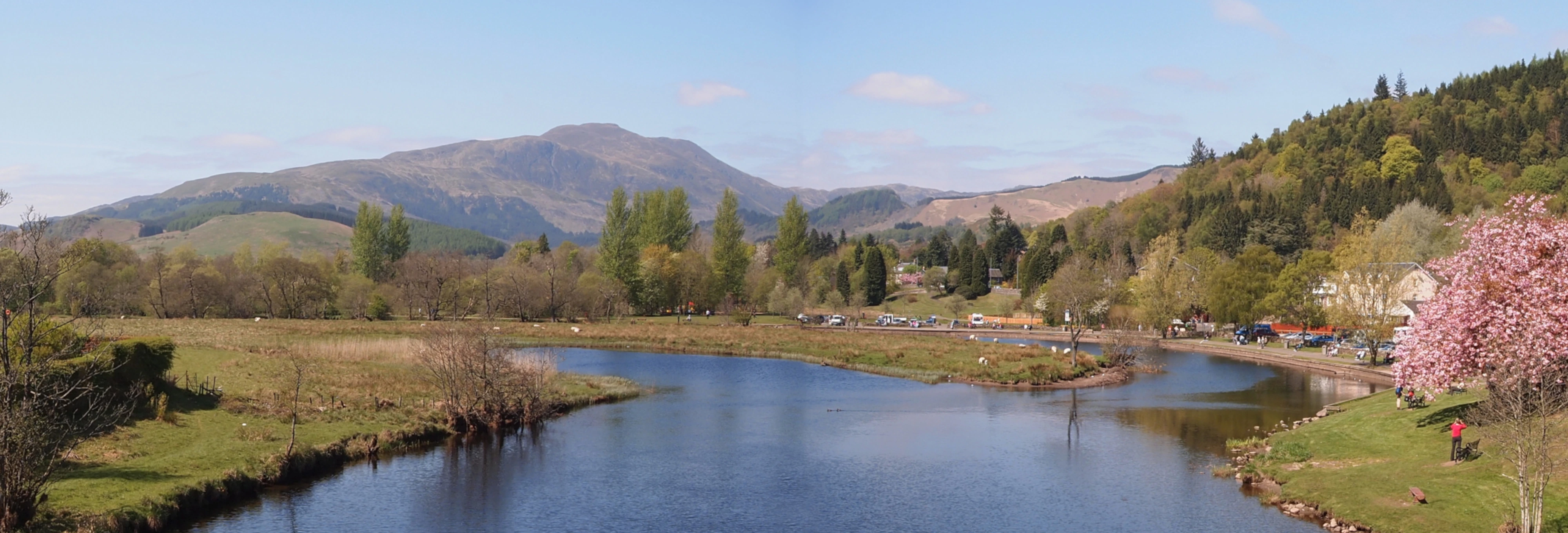
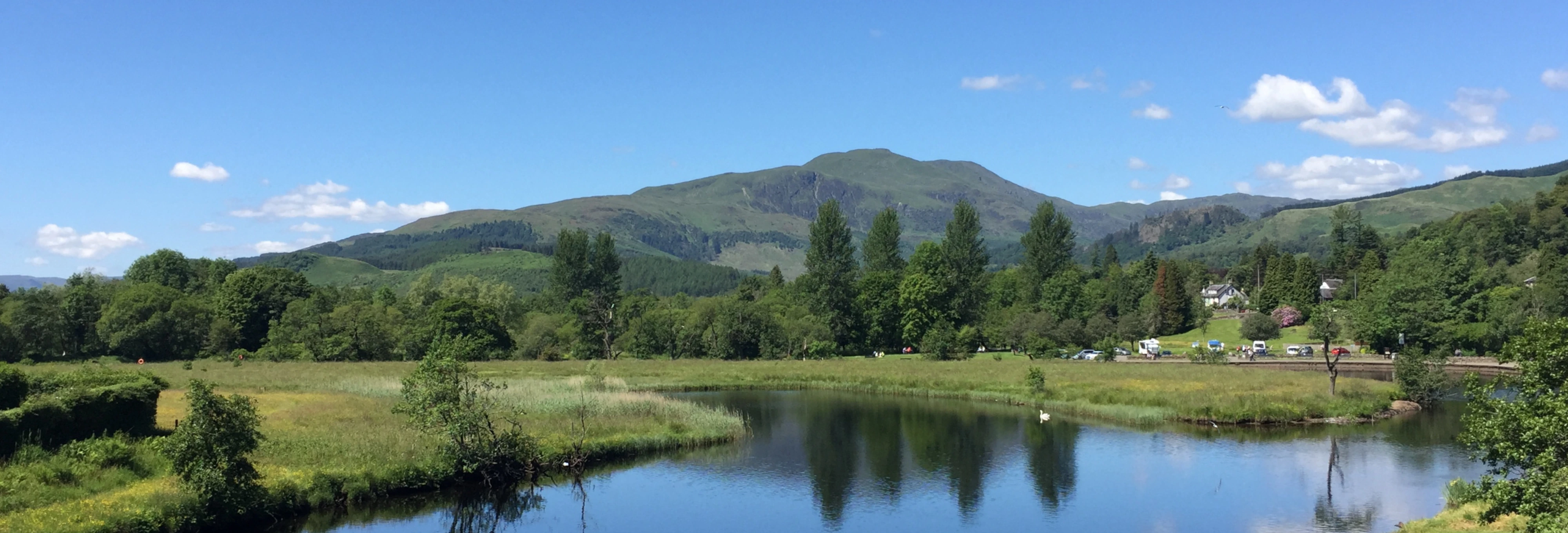
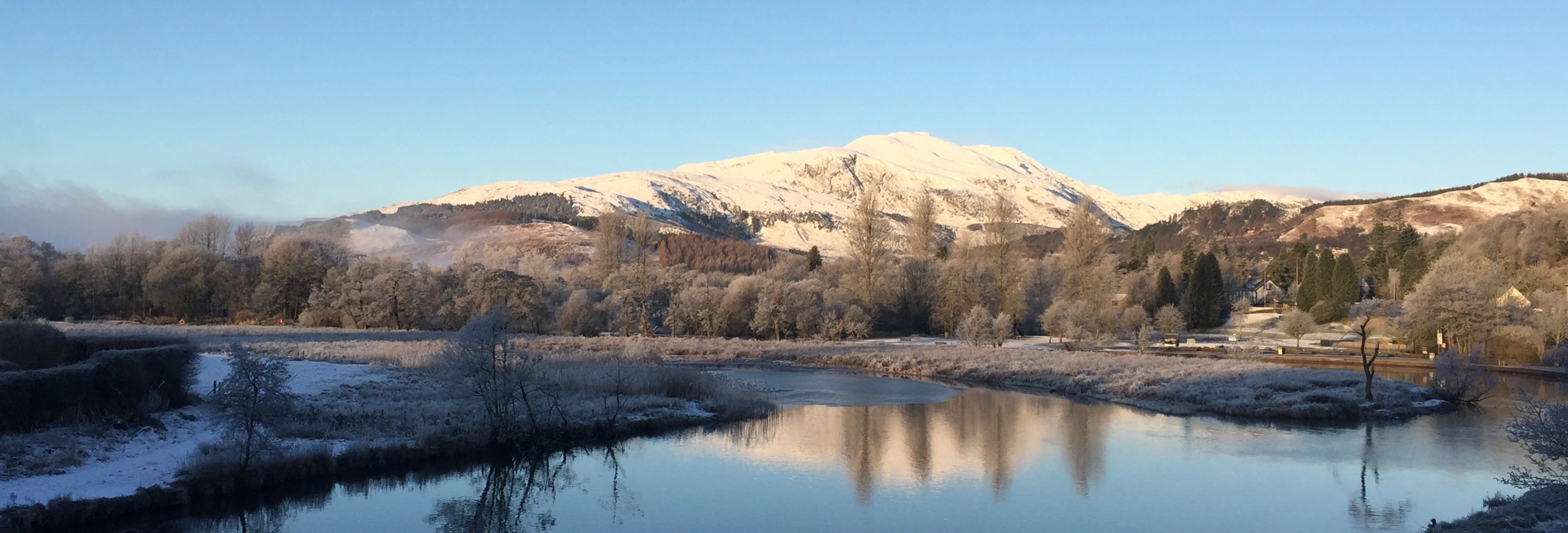
Ben Lui is probably one of the most spectacular mountains you will see in Scotland with its twin craggy summits and sheer drops into truly cavernous corries.
This is a satisfying and easy short walk if the second route is chosen. No great difficulties are encountered providing the steep rocks of Stob Dubh are avoided.
Views from the top are outstanding to the Crianlarich / Falloch peaks of Ben More, Stobinian, Cruach Ardrain, Ben Oss and An Caisteal , and very obvious to the SE is Ben Lomond and a glimps of the loch. To the NW, Loch Awe and the 5 peaks of Cruachan can be seen clearly with the circular route from Dalmally looking an inviting prospect for another day.
Coire Gaothach to the north east side is almost always filled with snow through the winter and steep snow banks form on the other faces making this a very serious winter proposition. This is a serious walk requiring correct equipment and snow/ice skills in winter conditions; be properly prepared and add 50% to your time.
The Routes
1) The most spectacular ascent is from Dalrigh near Tyndrum with a walk of nearly 12 miles, most of that distance being the walk in and out, (4.3 miles each way). This route can be made partly circular by ascending via Stob Garbh and decending via Stob an Tigh Aird. This route does involve putting hand to rock and a head for heights is useful around the edge of Coire Gaothach.
2) The shorter (easier) ascent is from the A85 Oban road, starting from the hidden car park GR NN239279.
Follow the track from the carpark to the river and follow the river downstream for 300 yards.
There is a footbridge about 0.75 mile downstream but this leads onto the railway line and should not be used. Wade over the river opposite a railway bridge (boots-off if water not low, impossible if water level high), then beyond the railway follow the east bank of the burn, keeping to the east bank of the first tributary.
River flumes provide safe crossing for walkers under the rail line after wading the river. A walkway under the rail bridge (alongside the burn) requires you to stoop but is safer than crossing the rail track (illegal).
"Flumes installed at the Scottish Environment Protection Agency's (SEPA) river gauging station at Eas Daimh give walkers a safe way to access Ben Lui from the nearby Forestry Commission Scotland (FCS) car park. The project, which was conducted in collaboration with both FCS and Network Rail, and with input from British Transport Police, means that there is now an alternative to trespassing on the mainline railway."
Continue up this very wet track, staying on the north bank of the burn and ignoring all right forks, to a narrow ford which you cross to climb up an awkward bank to a stile over the deer fence.
After the stile, the easier option is the obvious worn track which follows the rising wet ground and a fence into Fionn Choirein before ascending the steepish scramble over rocky bluffs and loose rock to the bealach between Ben Lui and Beinn a Chleibh.
The harder option is to tackle the steep rocky slope (heading about 125o for 0.75 mile) almost directly opposite the stile to ascend the craggy spur to the NNW of Ben Lui to the summit - scrambling skills useful for this option.
If you take the route to the bealach, a steady slog of about 900 ft from the bealach takes you to a point between the twin tops and a vertiginous view down into Coire Gaothach. Main summit at approx GR NN266263 and northern top at NN266264.
Having soaked in the view, visibility permitting, return to the bealach by the same route and continue SW to Beinn a Chleibh (NN250256 at 3005 ft).
The tricky crags of Stob Dubh to the northwest are steep and dangerous and are not a suitable descent route. The safe return is back to the bealach and down by Fionn Choirein