
Ben Lomond Walk
Length: 7 miles (3 - 4 Hours)Start: Rowardennan
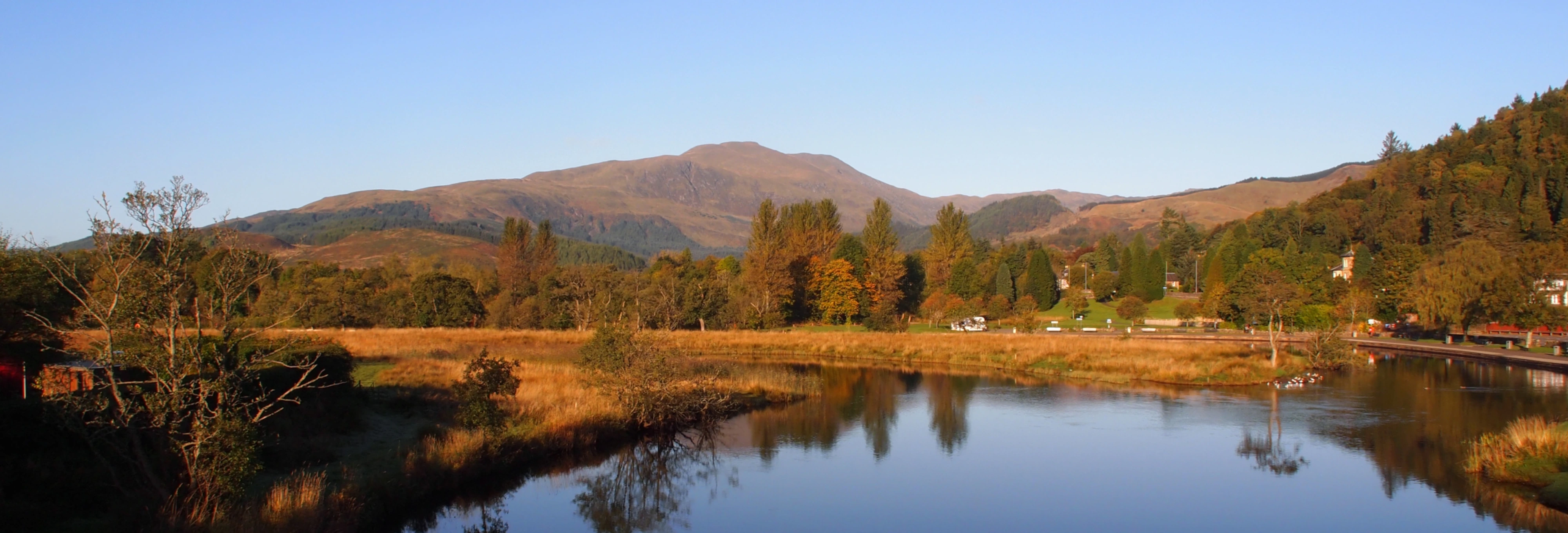
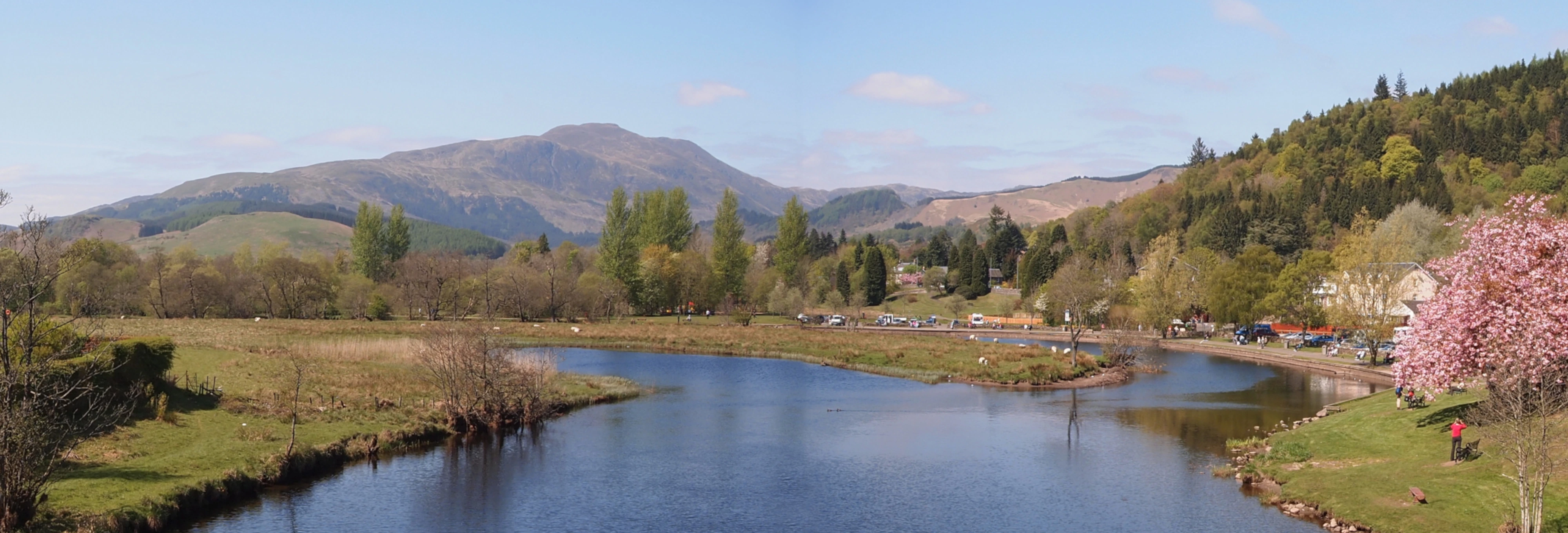
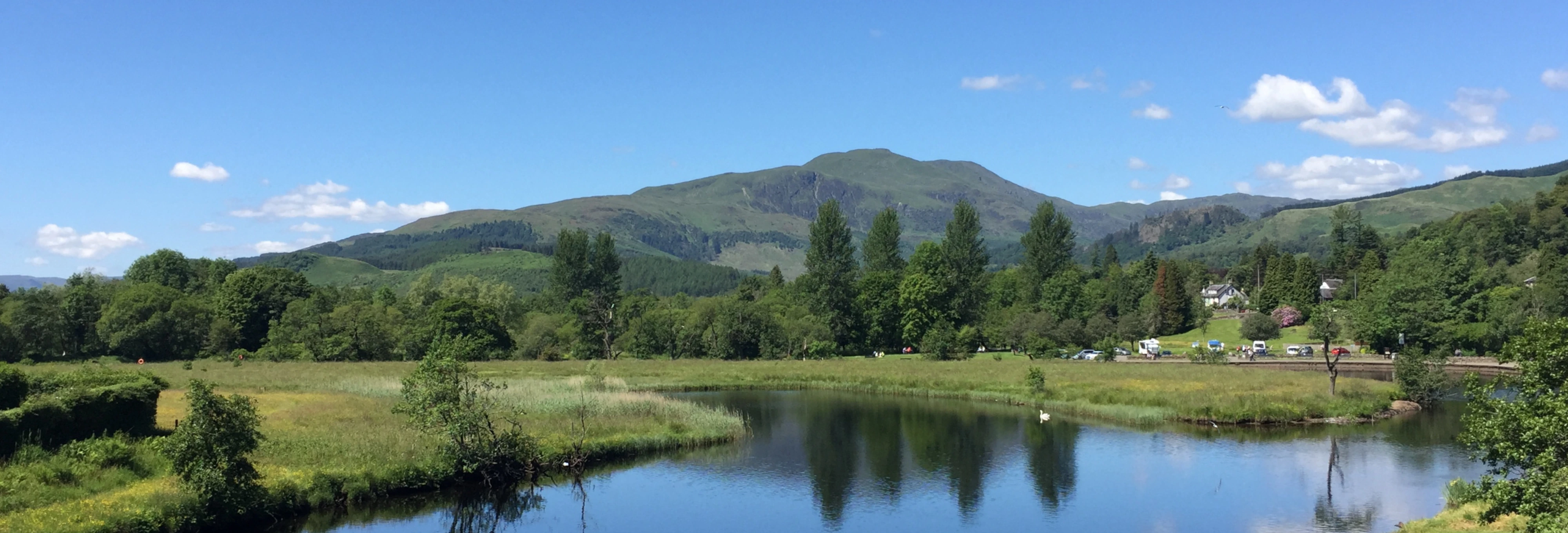
Ben Lomond, easily accessible from most parts of central Scotland and offering magnificent views from its summit, is Scotland’s southernmost ‘Munro’ (mountain over 3,000ft) and and is probably one of the most climbed hills in Scotland.
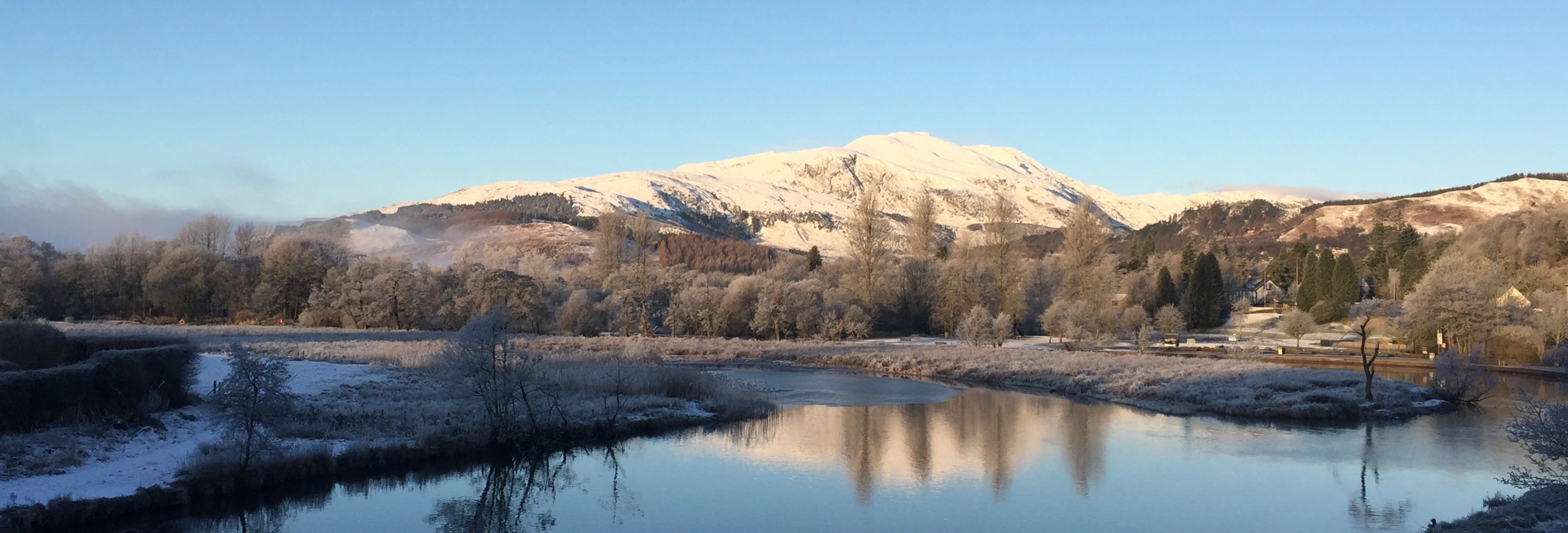
For all its popularity it should not be treated lightly especially in stormy or wet weather when the unexpected onset of heavy rain and cloud can find the unwary walker dangerously close to sheer rock faces and falls. In winter conditions be prepared and add 50% to your time.
Make sure you have proper clothing for the season, bearing in mind that weather can change unexpectedly and that temperature at 3000 feet is often considerably colder than at sea level. This route includes some rough conditions underfoot so proper walking boots should be worn. In winter conditions crampons and ice axe are adviseable - and essential when icy or if using the ptarmigan return route. Height 3196 ft.
The Route
The main path starts near the little pier and behind the public toilets at Rowardennan car park and climbs through the woods with a wee scramble up some slippery rocks to continue on a rather wet and slippery track to a gate.
Once out of the trees Loch Lomond becomes increasingly visible behind you and with views opening up to the lowland hills in the south and south east.
The views to the north and west become increasingly spectacular with the unmissable outline of the Cobbler (Ben Arthur) apparent to the north west at Arrochar.
The path veers left round the corrie Coire Corrach and up to the Sron Aonaich ridge.
The final and steepest part of the climb zig-zags up to a long fairly level track with steep slopes to the left and finally to the final rocky slabs below the 3250ft summit, where you have earned a breathtaking view down into corrie Coire a’ Bhathaich on the north side.
The panorana from the summit includes a bevy of peaks, from Bens Cruachan, Lui, Nevis, More, Lawers and Stobinian with Ben Ledi and Ben Venue in The Trossachs, the Paps of Jura in the west and Goat Fell with its sisters on the Isle of Arran.
Return by the tourist route OR return by the Ptarmigan route - walk approx north-west from the trig point to find a path descending steeply down craggy slopes - mind your feet here - to a beallach where the track becomes well defined after crossing some stepping stones. The track now rises to a high point before commencing a mixed descent to the lochside at Ardess near the hostel.
Conservation: Many parts, especially the steeper parts of the 'tourist track' have been rough paved to conserve the surface. Some walkers tend to avoid this slightly 'uncomfortable' surface and walk on the grassy verges. If tempted to follow their example, just take a look at some of the lake district mountain tracks where the paths on the fells are visible for miles.