
An Caisteal
Distance 8.5 milesHeight 3300 & 3100 ft/ total ascent 3200
Start / Parking A82 1.5m south of Crianlarich - Lay by loop south side of road. GR AA370240
Approximate time 5 - 7 hours
Severity A fairly easy walk but with one or two 'scrambly' bits. Navigation can be tricky in poor visibility.
Description
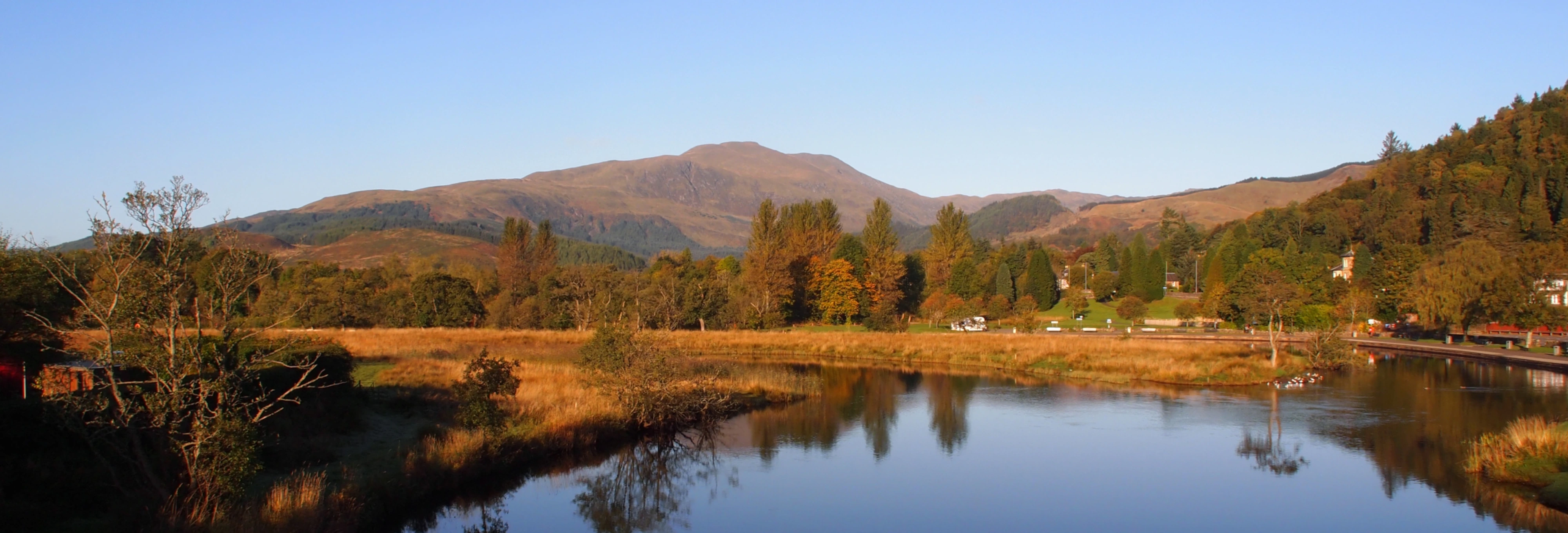
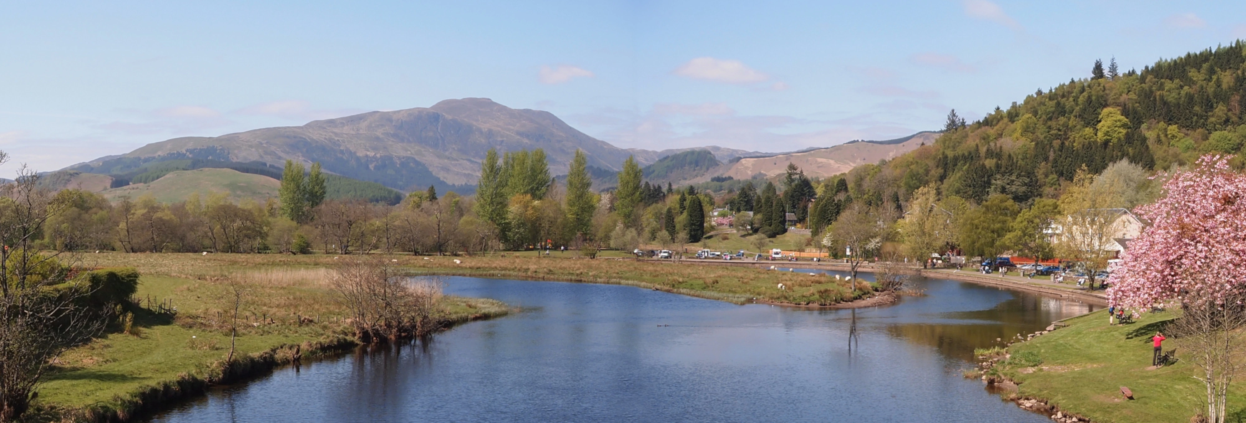
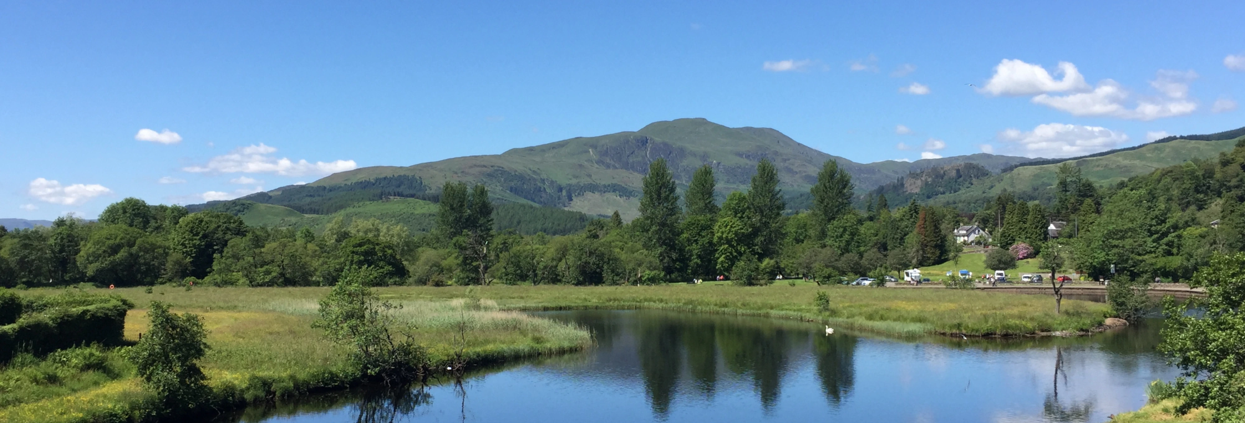
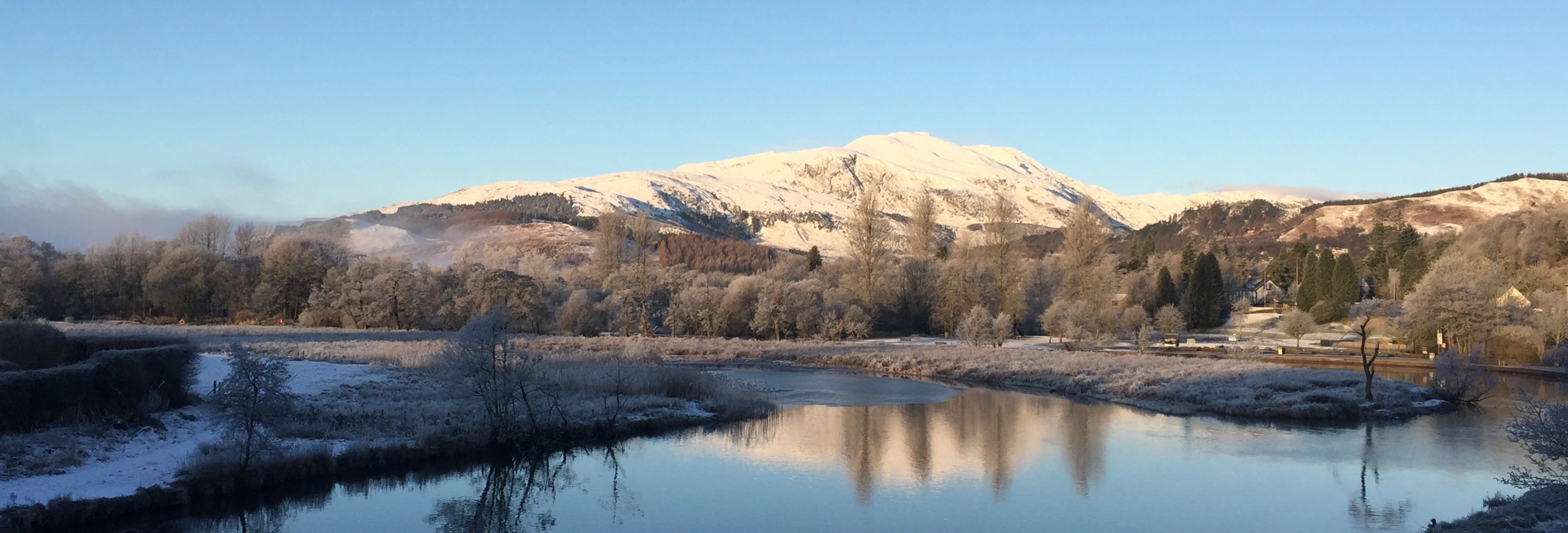
A circular walk with a fairly long walk in. Enjoyable in good weather with views to Forth, Clyde, Jura and Mull.
Leave the Car park at the north end and pick your way over the small bog to the tunnel below the railway line. Pass under the railway and follow the farm track over the river Falloch. After about 1.2 miles the farm track stops at a sheepfold. Continue to follow the burn over very boggy ground for about another 1.2 miles. Pass a large rock then cross the first burn and follow the second which flows from Stob Glas Beag.
Scan the hillside facing you and find a twisting path winding up the hillside to the right of the burn with little waterfalls - follow this path (ill defined at first) to the start of the north ridge of Beinn a Chroin. After attaining the ridge the path leads past the higher east summit (GR AA394185) to the west summit of Beinn a Chroin .
The next part is a little tricky to navigate! From the west summit, proceed carefully southwards toward a buttress and before reaching the edge, turn northwest for about 100 yards - careful here as it's a bit exposed to the left. Watch for a twisty ill defined track leading back to the left which zig-zags down through the crags to a bealach.
At the bealach, continue to the foot of a rockfall and a track which winds up through the rocks to the south ridge of An Caisteal and the flat summit (GR AA379193). Continue north to the craggy knoll beyond the summit . (top photo).
(Be careful not to continue west to the Stob Glas ridge as this adds considerably to the length of the walk).
At the craggy knoll, look to your right for a short scramble down to the side which bypasses the more severe direct route. Follow the track leading down the long winding ridge of Twistin' Hill to Sron Garbh.
As you follow the long ridge of twisting hill notice the many small caves - watch your step as they are close to the path - and the deep cleft which almost cuts the ridge in two. Eventually the last summit (Sron Garbh) is reached and the track starts to drop away and fade out. The last half mile or so is a trackless descent east of north down over boggy grass (slippery) towards the corner of the plantation at the track by the burn.
Return by the track to your car .
Note on the way back the ruined farm by a large rock on the left - a result of the clearances. Note also a group of Caledonian pines on the crest of a grassy knoll to the left of the track just before the river. These are a proud remnant of the original Caledonian Forest which at one time covered most od Scotland.