
Stob A Choin Walk
Length: 7.5 miles circular (5-6 hours)
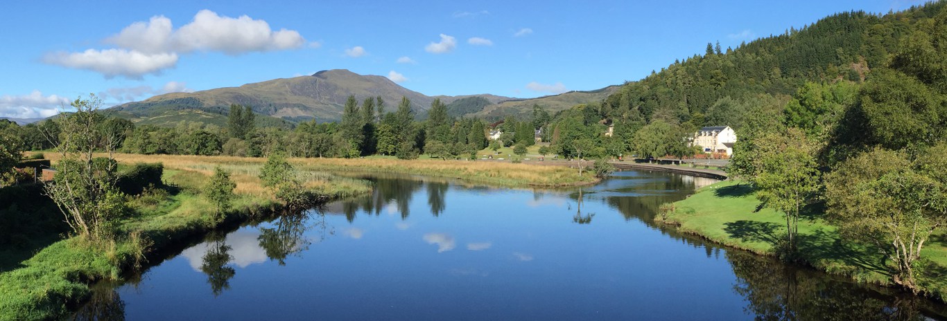
Start: Car park at west end Balquhidder Glen, Inverlochlarig
Straightforward but difficult in winter. Navigation can be tricky. Height 2830 ft.
Stob a Choin (G. the Hill of the Dog) is a 'wee gem' among giants. A very under-rated hill which makes a good day's outing if explored to the full. Located just to the south of the Munros in the Crianlarich range it offers superb views of the 'giants' and of the whole length of Balquhidder Glen.
Being the baby in the area at a mere 2830 feet it is maybe no surprise that it is not a heavily walked hill when it is surrounded by the 'prizes' for the Munro baggers.
The Route
From the car park at Inverlochlarig at the end of the public road in Balquhidder Glen walk west for about half a mile to Inverlochlarig farm where a left turn then a right takes you onto the farm track leading toward the head of the glen.
Stob a Choin can be reasonably tackles from anywhere you can avoid the numerous small crags but a good route is to walk about 2 miles along the glen to the base of the long slope at the western end, leaving the farm track at the sheep pens just beyond a burn crossing (NN414177).
Pick your way over sometimes wet ground to the river where you can usually find somewhere to cross dry shod - unless after heavy rain when judicious wading may be required.
Follow the river upstream on its south bank for about 1/2 a mile before turning to face a climb up rough grassy slopes and avoiding crags to your left for about a mile to reach the summit.
There is no obvious path and a little easy scrambling may be required closer to the summit depending on your chosen route.
From the summit all of the Crianlarich and Glenfalloch group are visible in clear weather with Ben Lomond and Ben Venue seen beyond Loch Katrine to the south east.
To complete the circular, head south-east to the second summit, then carefully pick your way down the southeast side to a dip (Bealach Coire an Laoigh) where an old fence can be seen on the opposite side. Bearing a little to the right gives an easier ascent of the steep slopes to join the fence at yet another high point followed by a gentler continuation to Meall from Stob a Choin. From here, cross a little dip to Greag nan Saighead, and follow the long descending shoulder leading down to eventually join the line of an old fence.
Continue to follow the old fence (which encounters some very steep sections) until you come to a high deer fence. Follow the deer fence to a gate at the intersection with another fence.
Go through (or over) the gate and continue down the deer fence for a short way before crossing a burn near a waterfall and dropping down NW to cross the river at a footbridge to join the farm road.