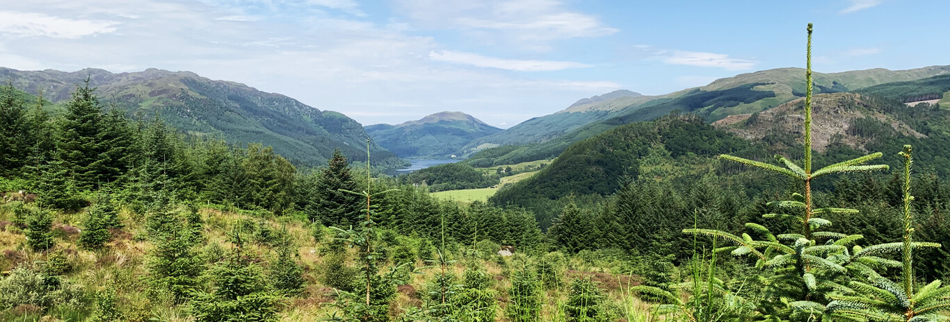

Loch Tay

Loch Tay is 15 miles in length with an average width of about 0.9 miles. It is slightly 'S' shaped and lies between the villages of: Killin on the West, Kenmore on the east, Lawers to the north and Ardeonaig to the south. The loch is only 10 miles or so from the source of the river Tay at Ben Lui. The river Tay (as the Dochart) delivers vast quantities of water to the loch and in very wet conditions the low ground at Killin is often under water.
The main road follows the north shore from Killin to Kenmore, high above the loch and passing through the villages of Lawers and Fearnan. The south loch road is the more scenic option with a little single track road leaving the main road at Killin, next to the Falls of Dochart on the river dDochart, then passing through the tiny hamlets of Ardeonaig, Ardtalnaig and Acharn before re-joining the main road at Kenmore.
History Around The Loch
Many remains of these small communities can still be seen on the lochsides and on the hills above the loch, and noteably in the remains of the old village of Lawers on the shore south of the modern Lawers village, and hillside shielings used by the farming communities during the summer. Signs of earlier communities may also be observed in the shape of ancient stone circles, standing stones and carved 'ring and cup' markings on the rocks, noteably on the northern shores of Loch Tay.
It's worth making a visit to Cloichran - once a farming community established by soldiers recruited by one of the Lairds of Breadalbane who were given the land by the Laird on their return. The community was later subjected to 'clearance' in 1834 by one of his successors. The ruins - on the slopes of the south loch side - can be accessed about 3/4 mile east of the Firbush point field centre (which is 2 mile east of Killin) via a narrow track on the south side of the road about 100 yards past the bridge over a burn. (GR-NN618313).
The ruins are mainly in two parts - the first near to the red roofed sheep shelter and the second part about 200 yards south west of the red roof. There are one or two other buildings further up the hillside but more to the east.