
Ben Vorlich and Stuc-A-Chroin
Length: 9 miles - may be extended (4 - 7 hours)
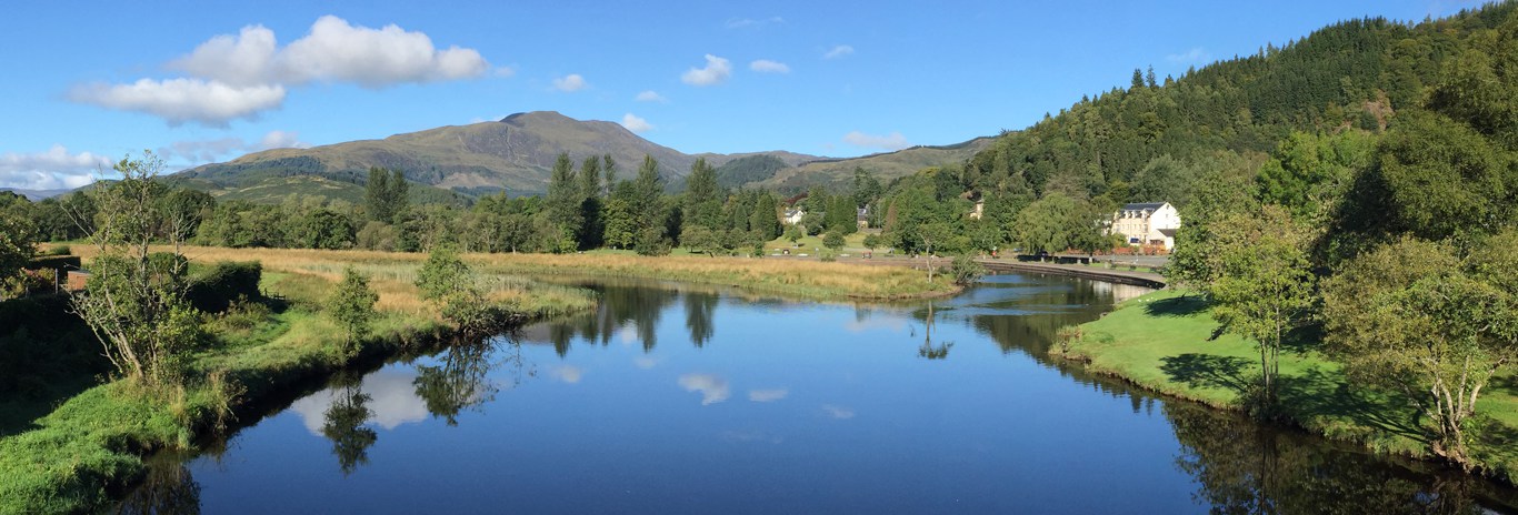
Start: Ardvorlich (3 mile from A84) or Edinample on south Loch Earn road
A strenuous walk to Ben Vorlich summit. If extended to Stuc-a-Chroin the walk becomes more demanding and also calls for scrambling skills . The route is very exposed in places and in bad weather temperatures can be very low, even in summer. As with many of the mountain walks, these hills may be very hazardous and care is required. Total ascent is 3998 feet (Vorlich is 3250ft, Stuc a Chroin is 3217ft).
A serious walk in winter conditions - be properly prepared with winter gear and add 50% to your time.
This walk may be done in several combinations, but remember there is no public transport on the south Loch Earn road.
The most popular route starts at, and returns to, Ardvorlich house on the south Lochearn road and the track is very obvious most of the way.
The route may be further extended by ascending Ben Vorlich via Glen Vorlich and the south shoulder.
An alternative route starts at Edinample but car parking is very limited and you may have to park at the A84 and walk the extra mile to Edinample).
The Route (from Ardvorlich)
This is a circular of Ben Vorlich and Stuc a Chroin, 9 miles.
On the east side of the hump back bridge walk up the driveway leading to Ardvorlich House, but turn left on the marked path just before the house. As you walk up beside the burn, notice the very old watermill on the far bank.
Continue up the hill road. About 100 yards beyond the first ford notice the grassy track leading off to the left. Don't take this path - This is the path to Glen Vorlich.
After crossing a couple of bridges the hill road comes to an end and the next mile of pathway is a well made conservation track after which the track turns abruptly left and all but disappears due to erosion as you clamber steeply up onto the north shoulder. No respite yet - no sooner have you reached the shoulder when you are faced with a couple of false summits before the final 600 foot slog to the trig point (NN630189) on the west summit.
The west summit with the trig point is the higher of the two by a matter of about 8 feet - the east summit is about 150 yards distant (just in case you can't see a thing!).
Dramatic views here to the shoulders and broken buttress of Stuc a Chroin over Glean a Dubh Corrien (glen of the dark Corrie).
- North of Stuc a Chroin is Corrie Fhudarrach (corrie of the robbers) leading down to Glen Ample.
- To the south is the river Forth, Callander (out of sight) and just east of that is Ben Ledi with the Lomond hills beyond.
- To the east is Crieff (out of sight) and the beginning of the Grampians with the Angus hills occasionally visible beyond.
- To the north is Loch Earn, and beyond the Loch Earn hills can be seen the Lawers range with the GlenLyon hills and Schiehallion beyond that.
- To the north west, Ben More and Stobinian stand out with the Crianlarich and Glenfalloch groups beyond.
There is an optional return by Glen Vorlich (7 mile total loop). Proceed south east past the second summit and descend the south shoulder until a safe descent can be found on the east side to drop down to Glen Vorlich. Head north in Glen Vorlich to re-join the track back to Ardvorlich.
To a Chroin (9 miles total) head down the west side from the summit of Ben Vorlich, veering to a south westerly direction and onto to the bealach (Bealach an Dubh Corrien) then follow the track leading toward the ominous looking broken buttress of Stuc a Chroin.
This is a difficult scramble with some exposure, but if unsure of your ability, it can be avoided by skirting the base of the buttress to the right where a choice of 2 paths lead up through eroded terrain to the north west shoulder, where a path leads south east behind the rocky buttress to the multiple summits about 1/4 mile beyond the buttress.
The highest summit ( GR NN617175 ) is the one overlooking Glean a Dubh Corrien and the Bealach an Dubh Corrien. Another competing summit just a couple of feet lower lies some 80 yds to the west. From there you can see another route coming over the ridge leading from Ben Each at Glen Ample - a great route on a clear day, but difficult navigation in poor visibility. About 700 feet below on the south side is a small lochan - Lochan a Chroin, interesting to visit via the south shoulder but involving some additional effort!
From the summit, retrace your steps for about 100 yds then strike off about 20 degrees left to pass just west of the broken buttress over a short boulder field behind the buttress summit. Head approx NNW down the slope of the NW shoulder, skirting the steep slopes on the right, then turn right at a cairn (NN617182) to follow the eroded path to the foot of the buttress.
If returning to Edinample proceed here, otherwise continue below for Ardvorlich route.
Follow a faint track round the top of Corrie Fhuadarach, slowly rising to the skyline, then round the top of Corrie Buidhe often over very wet ground to eventually join the ascent path to return to Ardvorlich.
Alternative Route (from Edinample)
Park where you can without obstructing turning or passing places then walk to the bridge at Edinample castle and mausoleum. Take the farm road to the west side of the Falls of Edinample. Reaching a game fence, keep to the left (don't cross the fence), and continue up the Glenample farm road watching for notices bearing instructions for walkers - follow these instructions to avoid the farm yards and regain the forestry track beyond the farm.
A notice beside the forest road points walkers through the trees beside a burn to the hill tracks. On reaching a hill road, follow it uphill to a gate in the deer fence which may be avoided by going to the right of the gate to find a stile. Continue up the hill road until it peters out, then continue on a poor footpath. The footpath eventually disappears, but continue up toward the head of Corrie Fuadarach, slowly veering to the south to intercept a faint track at about NN620183.
To tackle Ben Vorlich first, cross over the faint track, and continue up the heather covered slopes for about another 150 yards to find another track on the bealach. Turn approximately NE at this point to follow the track to the top of Ben Vorlich.
From the top of Vorlich proceed here to Stuc a Chroin.
After the descent from Stuc a Chroin's NW shoulder, follow a faint track round the top of Corrie Fhuadarach to about NN621192 (about 150 yds from the skyline) then head due west over rough terrain for about 1/5 mile to find the hill road about 150 yds north of the waterfalls.
Follow the track down to the forest road and continue down to Glenample and thence to Edinample bridge