
Ben Achallader And Beinn A Chreachain Walk
Length: 12.5 miles (5 - 7 hours)
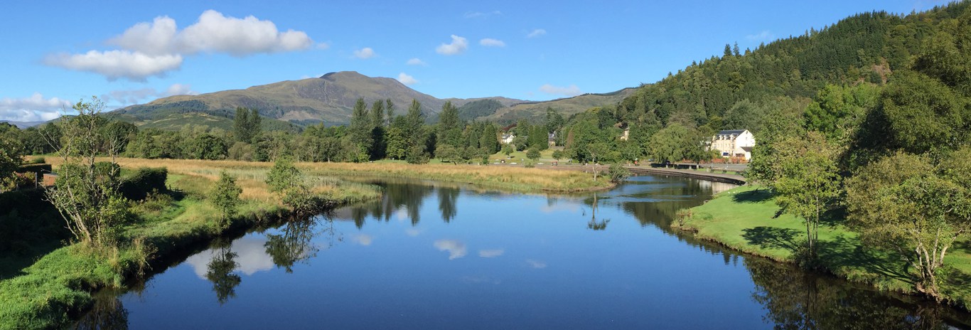
Start: Achallader farm, Bridge of Orchy (GR NN322443)
A testing circular walk, beginning at Achallader Castle on a farm track, then through an ancient pine forest and grassy slopes before climbing steeply to a long ridge walk with some awkward scrambles and 3 summits (Achallader 3405ft, Chreachain 3539ft, Meall Buidhe 3196ft). The entire summit ridge is bounded on the northern side by steep cliffs and offers excellent views over Rannoch Moor and to Stob Ghabhar and its neighbours.
Any descent to the north side is dangerous by any route other than that described below.
In sudden poor weather escape is possible to the south near Meal Buidhe to Glen Lyon then west to a hill road at Bein a Chuirn which leads to the A85 at Auch (near the railway loop).
Navigation on Beinn Chreachain may be tricky in poor visibility.
The Route
Heading north from Bridge of Orchy on the A82, after just under 3 miles take the Achallader farm track to the east of the road and drive to the good car park at the farm.
Go out of the gate at the north east corner of the car park (to Gorton) cross the water of Tulla (difficult in spate) and follow for 1.7 miles. Just before the track crosses the river, branch off to the right up a grassy bank, over a stile and continue up to the railway line, crossing a bridge at NN349455. Continue eastward beside the railway line and through the ancient pine forest, crossing another stile before turning right beyond the forest to follow the burn (Alt Coire an Lochain) past some waterfalls and into the corrie. Before reaching the lochan, head southeast to the low point in the northeast shoulder of Beinn Chreachain.
On attaining the ridge head southwest for about 1/2 mile, slowly veering to southeast before reaching the summit of Beinn Chreachain (NN374441).
The continuation here is deceptive in poor visibility and to your right from here onward are steep cliffs. From the summit cairn head about 280 degrees true (just north of west), dropping about 500 ft to a bealach before climbing southwest to the to Meall Buidhe at 3190 ft (NN359438).
Continue past Meall Buidhe and descend to another bealach at 2700 ft before scrambling up steep rocky outcrops above the corrie to attain the summit of Ben Achallader at 3395 ft.
Descend now for about 2 miles, southwest then south via another top on the ridge before dropping steeply to the top of Coire Daingean at NN340406. Now head northwest down Coire Daingean, taking care to avoid at least 2 waterfalls, then continuing to follow the burn down Coire Achalladair to cross the railway line at NN324437 and back to the carpark.